Cookston
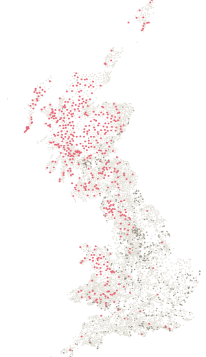
Station NO89/T17 in Angus, 98 m above sea level, and recorded as destroyed.
- Station number
- NO89/T17
- Height
- 98 m
- Position
- 56.74301, -2.66447
- Grid
- 359456 E, 761462 N
Condition
Lost.
Ordnance Survey’s archive records this pillar as destroyed. It is kept in the register because it was built, and because the record of what was lost is worth as much as the record of what remains.
On the ground
Been here? Record it free.
Tick what you have walked, see what it completes, and earn badges as you go.
Create a free accountAlready a member? Sign in