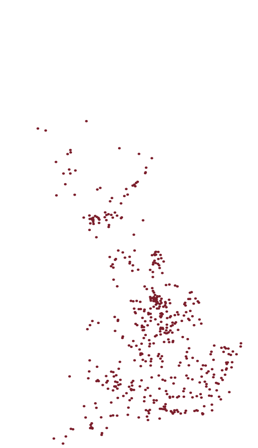
There is no coastline
in this image.
Only 6,064 concrete pillars and the sight lines Ordnance Survey measured between them, 1935 to 1962. The country is what fell out of the arithmetic.
Where to start
Three ways in.
The register
Every pillar OS ever built, standing or lost, with its station number, grid reference and condition. Free to browse, always.
Browse the register →The lists
Trig pillars lead. Munros, Wainwrights, Corbetts, Grahams, Marilyns and county tops come with them.
See the lists →Your record
Tick the pillars and hills you have stood on, free. Uploading the walks you have already done, and searching every one, is part of the full record.
Start your record →Trig. log books
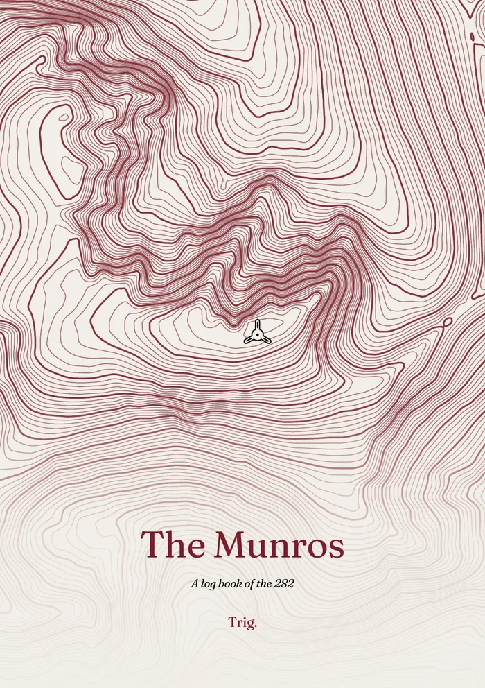
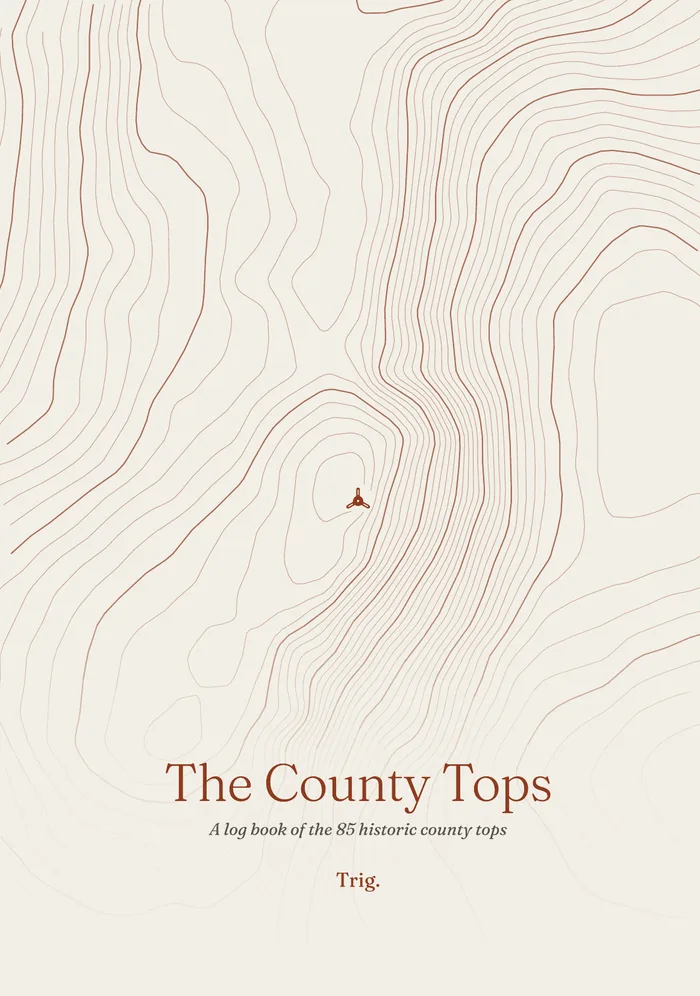
Your hills, in print: the log books.
A printed page for every hill on the list, with the real contours, the height, the three nearest neighbours and lines to write the day up. Tick lists open each section, and a tally shows the round filling in. A5 paperbacks, printed to order and sold in the Trig. shop.
What we keep that nobody else does
493 pillars are already gone.
Ordnance Survey’s archive records where pillars were, and it stops around 2002. It cannot tell you what still stands, what condition it’s in, or whether the field it sits in is now fenced off. The data hasn’t been maintained since the Retriangulation ended.
So we maintain it. Every visit confirms a pillar exists. Every photograph dates its condition. The register gets more accurate the more people walk — and that is something no amount of open data can replace.
The lost, alone
Your own map
You’ve already bagged more than you think.
Upload the walks you already have — years of GPX from your watch or your phone. We search every one and light up the pillars you’ve stood on. Starting a record is free; uploading walks is part of the full record.