Angus
56 pillars. 5 of them lost.
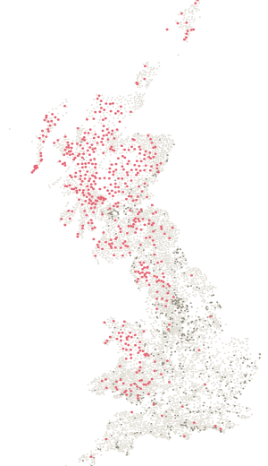
- Pillars
- 56
- Standing
- 51
- Lost
- 5
- Highest
- 1068 m
Standing
| Name | Height | Note |
|---|---|---|
| Glas Maol | 1068 m | |
| Driesh | 948 m | |
| The Goet | 897 m | |
| Mount Blair | 744 m | |
| Badendun Hill | 740 m | |
| Hill Of Glansie | 726 m | |
| Hill Of Wirren | 678 m | |
| Cat Law | 669 m | |
| Cairn Caidloch | 647 m | |
| East Wirren | 634 m | |
| Hare Cairn | 516 m | |
| Mondair | 498 m | |
| Peat Hill | 481 m | |
| Craigowl | 455 m | |
| Westerkeith Hill | 353 m | |
| Kinpurnie Hill | 346 m | |
| Kincaldrum Hill | 309 m | |
| The Crannel | 291 m | |
| West Mains Hill | 289 m | |
| Blacklaw Hill | 284 m | |
| Berry Hillock | 282 m | |
| Hill Of Ogil | 260 m | |
| Carrot Hill | 260 m | |
| Turin Hill | 252 m | |
| Fothringham Hill | 251 m | |
| West Schurroch | 244 m | |
| The Blair | 228 m | |
| Dunnichen Hill | 211 m | |
| West Hills | 198 m | |
| Hill Of Kirriemuir | 190 m | |
| Cairnconon Hill | 183 m | |
| Kinnettles | 165 m | |
| Carse Bank | 161 m | |
| The Roundie | 159 m | |
| South Pourie | 151 m | |
| Guthrie Hill | 149 m | |
| Pitarris Hill | 139 m | |
| Wuddy Law | 132 m | |
| Ardovie | 131 m | |
| Findowrie | 128 m | |
| Burghill | 115 m | |
| Muirton | 107 m | |
| Knox Hill | 103 m | |
| Maisondieu | 94 m | |
| Pitforthie | 88 m | |
| Redhead | 81 m | |
| Little Archie | 81 m | |
| Muirheads Resr | 81 m | |
| Blair Muir | 80 m | |
| The Warren (Glamis) | 67 m | |
| Cookston West | 65 m |
Lost
| Name | Height | Note |
|---|---|---|
| Brae Of Pert | 120 m | Lost |
| Kerryston Bank | 102 m | Lost |
| Cookston | 98 m | Lost |
| Padanaram | 74 m | Lost |
| Dun Hill | 51 m | Lost |
In the County Tops log book
Angus has a page of its own.
- The book names Glas Maol (1068 m) as the top of historic Angus, on page 24. The page leaves lines for the date, who came, the route, the times and the weather.