Knock Saul
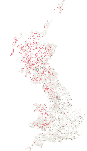
Station NJ45/T31 in Aberdeenshire, 412 m above sea level, and still standing.
- Station number
- NJ45/T31
- Height
- 412 m
- Position
- 57.29646, -2.69915
- Grid
- 357965 E, 823092 N
Condition
Standing.
Ordnance Survey last recorded work on this pillar in May 1989. Nobody has maintained the network since. If you stand on it, tell us what you found — that is the only way this stays true.
On the ground
Been here? Record it free.
Tick what you have walked, see what it completes, and earn badges as you go.
Create a free accountAlready a member? Sign in
Also on