Acre
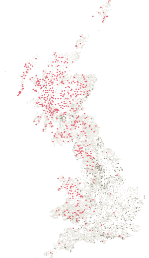
Station PP132, 1 m from the summit of Normanby Top [The Wolds], and still standing. One of 567 pillars that share a hilltop with a named summit.
- Station number
- PP132
- Height
- 168 m
- Position
- 53.45305, -0.31317
- Grid
- 512112 E, 396466 N
Condition
Standing.
Ordnance Survey last recorded work on this pillar in December 1980. Nobody has maintained the network since. If you stand on it, tell us what you found — that is the only way this stays true.
On the ground
Been here? Record it free.
Tick what you have walked, see what it completes, and earn badges as you go.
Create a free accountAlready a member? Sign in
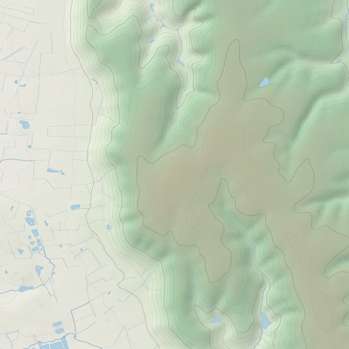
On the summit
Stands on
Normanby Top [The Wolds].
Normanby Top [The Wolds] is 168 m high, an Administrative County Top, a Current County Top, a Historic County Top and a Marilyn. This pillar stands 1 m from the recorded summit.
Hill height
168 mFrom the summit
1 mAlso on