Walbury Hill
297 m in West Berkshire. Its summit pillar is Inkpen, station PP33.
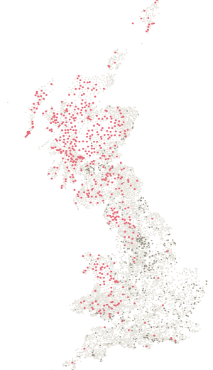
- Height
- 297 m
- Drop
- 189 m
- Position
- 51.35249, -1.46508
- DoBIH number
- 2906
The hill
2037th of 2,342 by height.
297 m, with 189 m of drop — 1065th most prominent of the 2,342 hills on a list here. It rises further above its surroundings than its height alone suggests — a hill that stands on its own rather than a high point on a longer ridge. Classed as Marilyn, HuMP, historic county top, current county top and administrative county top.
On the ground
In the log book · page 95
The page for your Walbury Hill day is already printed.
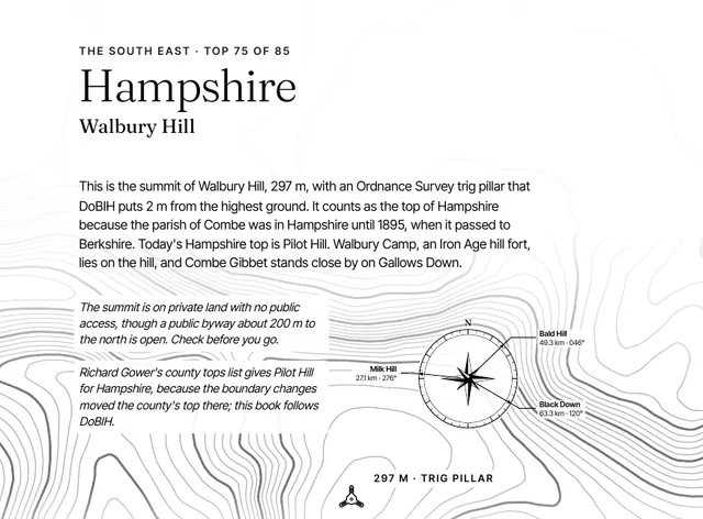
The contours around it, the historic county, height and rank, the three nearest county tops with their distance and bearing, and the lines to fill in: the date, companions, route, times and weather. One page for each of the 85, in a book that stays on the shelf long after the round is done.
A5 paperback · 85 top pages · A gift for anyone with a few tops done
Been here? Record it free.
Tick what you have walked, see what it completes, and earn badges as you go.
Create a free accountAlready a member? Sign in
Summit pillar
Inkpen stands here.
Station PP33 stands 2 m from the recorded summit, at 297 m. Ordnance Survey last recorded work on it in September 1991.
InkpenAlso on
4 lists.
Nearby
Eleven pillars within ten kilometres.
- InkpenPP33 · standing · 297 mOn the summit
- Inkpen HillSU15/53 · standing · 290 m2.0 km
- PilotSU54/T1 · standing · 286 m2.9 km
- Blandys HillSU77/T7 · standing · 151 m4.6 km
- Botley DownSU15/52 · standing · 226 m6.6 km
- Hungerford WaterworksSU19/T14 · standing · 135 m7.5 km
The six nearest are listed.