Liathach - Mullach an Rathain
1024 m in Highland. Its summit pillar, station NH16/T19, is recorded as destroyed.
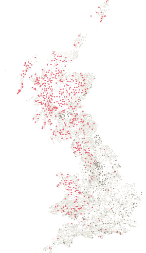
- Height
- 1024 m
- Drop
- 152 m
- Position
- 57.56089, -5.49253
- DoBIH number
- 954
The hill
112th of 2,342 by height.
1024 m, with 152 m of drop — 1514th most prominent of the 2,342 hills on a list here. It is tall but not especially prominent: a high point on a bigger ridge rather than a hill standing alone. Classed as Marilyn, HuMP, Simm and Munro.
On the ground
In the log book · page 271
The page for your Liathach - Mullach an Rathain day is already printed.
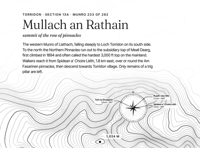
Its contours, height and rank, the three nearest Munros with their bearings, and the lines to fill in: the date, who was with you, the route, the weather, how it felt on top. One page for each of the 282, in a book that stays on the shelf long after the round is done.
A5 paperback · 282 hill pages · A gift for anyone with a round on the go
Been here? Record it free.
Tick what you have walked, see what it completes, and earn badges as you go.
Create a free accountAlready a member? Sign in
Summit pillar
A pillar stood here. It is gone.
Ordnance Survey’s archive records station NH16/T19, 0 m from the recorded summit, as destroyed. A trig pillar once stood on this summit; none does now.
LiathachAlso on
2 lists.
Nearby
Eight pillars within ten kilometres.
- LiathachNH16/T19 · lost · 1024 mOn the summit
- Beinn EigheNH16/10 · standing · 972 m5.7 km
- Aird MhorNH16/T23 · standing · 54 m5.7 km
- Beinn AlliginNH16/9 · standing · 922 m5.8 km
- Sgurr Na Bana MhoraireNH16/12 · standing · 687 m6.5 km
- Beinn An EoinNH16/7 · lost · 856 m7.0 km
The six nearest are listed.