Kinder Scout
636 m in Derbyshire. The nearest trig pillar is Kinder Low, 763 m away.
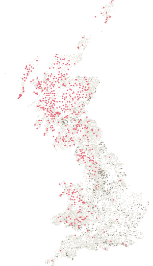
- Height
- 636 m
- Drop
- 497 m
- Position
- 53.38481, -1.87391
- DoBIH number
- 2807
The hill
1109th of 2,342 by height.
636 m, with 497 m of drop — 158th most prominent of the 2,342 hills on a list here. It rises further above its surroundings than its height alone suggests — a hill that stands on its own rather than a high point on a longer ridge. Classed as Marilyn, HuMP, Simm, Hewitt, Nuttall, historic county top, current county top and administrative county top.
On the ground
In the log book · page 56
The page for your Kinder Scout day is already printed.
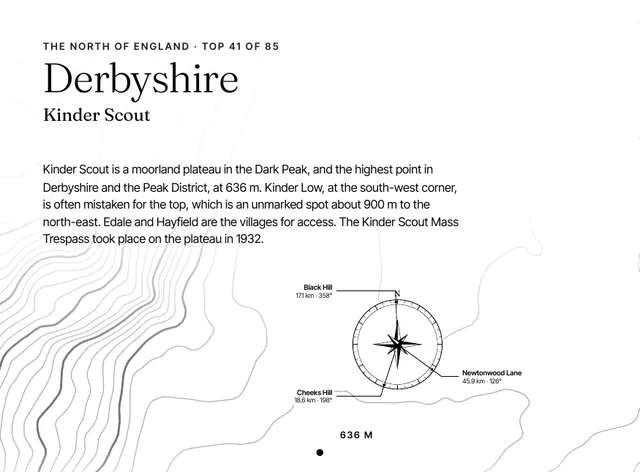
The contours around it, the historic county, height and rank, the three nearest county tops with their distance and bearing, and the lines to fill in: the date, companions, route, times and weather. One page for each of the 85, in a book that stays on the shelf long after the round is done.
A5 paperback · 85 top pages · A gift for anyone with a few tops done
Been here? Record it free.
Tick what you have walked, see what it completes, and earn badges as you go.
Create a free accountAlready a member? Sign in
Summit pillar
No pillar on this summit.
The nearest is Kinder Low, station SK08/T18, 763 m away.
Kinder LowAlso on
6 lists.
Nearby
Sixteen pillars within ten kilometres.
- Kinder LowSK08/T18 · standing763 m
- The EdgeSD80/37 · standing · 625 m2.0 km
- The EdgePP27 · lost2.0 km
- Brown KnollSK08/T3 · standing2.4 km
- Edale MoorSK08/T9 · standing4.4 km
- Harry HutSD80/T56 · standing · 441 m5.1 km
The six nearest are listed.