Calf Top
610 m in Westmorland and Furness. Its summit pillar is Calf Top, station SD47/9.
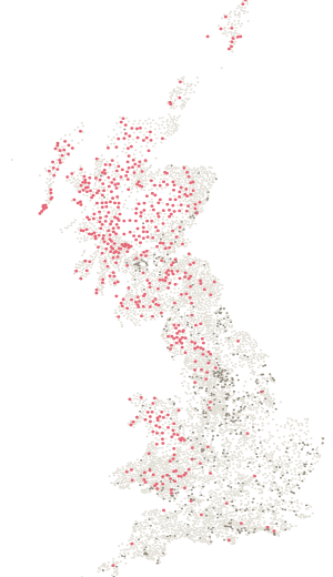
- Height
- 610 m
- Drop
- 320 m
- Position
- 54.26518, -2.51661
- DoBIH number
- 2797
The hill
1243rd of 2,342 by height.
610 m, with 320 m of drop — 411th most prominent of the 2,342 hills on a list here. It rises further above its surroundings than its height alone suggests — a hill that stands on its own rather than a high point on a longer ridge. Classed as Marilyn, HuMP, Simm, Hewitt and Nuttall.
On the ground
Been here? Record it free.
Tick what you have walked, see what it completes, and earn badges as you go.
Create a free accountAlready a member? Sign in
Summit pillar
Calf Top stands here.
Station SD47/9 stands 10 m from the recorded summit, at 610 m. Ordnance Survey last recorded work on it in June 1976.
Calf TopAlso on
3 lists.
Nearby
Eleven pillars within ten kilometres.
- Calf TopSD47/9 · standing · 610 mOn the summit
- Crag HillSD47/12 · standing · 683 m3.6 km
- Holme KnottSD47/T21 · standing · 350 m4.3 km
- BrownthwaiteSD47/5 · standing · 437 m4.9 km
- Aye Gill PikeSD47/T2 · standing · 557 m6.3 km
- Gragareth FellSD47/14 · standing · 627 m6.7 km
The six nearest are listed.