Kent
59 pillars. 9 of them lost.
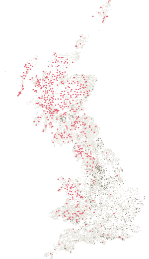
- Pillars
- 59
- Standing
- 50
- Lost
- 9
- Highest
- 252 m
Standing
| Name | Height | Note |
|---|---|---|
| Knockholt Beeches | 237 m | |
| Wrotham | 235 m | |
| Beechmont | 214 m | |
| Rowdow Hill | 204 m | |
| Thurnham Court Estate | 199 m | |
| Holly Hill | 196 m | |
| Well Hill | 187 m | |
| Paddlesworth | 187 m | |
| Kingswood | 182 m | |
| Tolsford Hill | 182 m | |
| Coombe Farm | 178 m | |
| Rhodes Farm | 174 m | |
| Cauldham Farm | 173 m | |
| Dover Hill | 171 m | |
| Hurst Wood | 167 m | |
| Torry Hill Park | 150 m | |
| Chimhams Farm | 150 m | |
| Markbeech | 148 m | |
| Great Bounds | 146 m | |
| Boughton Place | 139 m | |
| Church Farm | 136 m | |
| Westwell | 130 m | |
| Old Wives Lees | 121 m | |
| Windmill Farm | 118 m | |
| Fort Farningham | 113 m | |
| Scudders Hill | 110 m | |
| Sparrow Court | 106 m | |
| Smarts Hill | 103 m | |
| Scene Farm | 97 m | |
| Great Mount | 94 m | |
| Sellindge | 86 m | |
| Gaywood Farm | 81 m | |
| Hope Farm | 76 m | |
| Keycol Farm | 74 m | |
| Colliers Hill | 74 m | |
| Mountjoy Farm | 74 m | |
| Squirrel Mills | 72 m | |
| Shurland | 61 m | |
| Longreach | 58 m | |
| Durndale | 48 m | |
| Faversham Resr | 47 m | |
| Blackney Hill | 34 m | |
| Isle Of Harty | 28 m | |
| Richborough Hill | 18 m | |
| Stourmouth | 10 m | |
| Elmley | 2 m | |
| Cheriton Hill | Not recorded | |
| Chunnel Apron | Not recorded | |
| Farthingloe | Not recorded | |
| Shakespeare Cliff | Not recorded |
Lost
| Name | Height | Note |
|---|---|---|
| Old Fort | 252 m | Lost |
| Cox Heath | 129 m | Lost |
| Roydon Hall | 111 m | Lost |
| Hurst Wood | 92 m | Lost |
| Great Chart | 73 m | Lost |
| Tiptree Hill | 59 m | Lost |
| Clay Pits | 52 m | Lost |
| Chislet Colly | 39 m | Lost |
| Randall Wood | Not recorded | Lost |
In the County Tops log book
Kent has a page of its own.
- The book names Betsom's Hill (251 m) as the top of historic Kent, on page 99. The page leaves lines for the date, who came, the route, the times and the weather.